Iceland > Paper Maps
We want paper maps. Fortunately Mál og menning publishes various series.
1:100,000 Scale Topographical Maps
These are ideal for hiking, but we would need a lot of them. From the publisher:
The atlas maps are the most comprehensive set of maps of Iceland ever to be put on public display. The entire country, from the highest peaks to the islands and fjords, is shown on 31 maps at a scale of 1:100,000. The atlas maps are individually or all together in a glass-lined box that is ideal for gifts and travel.
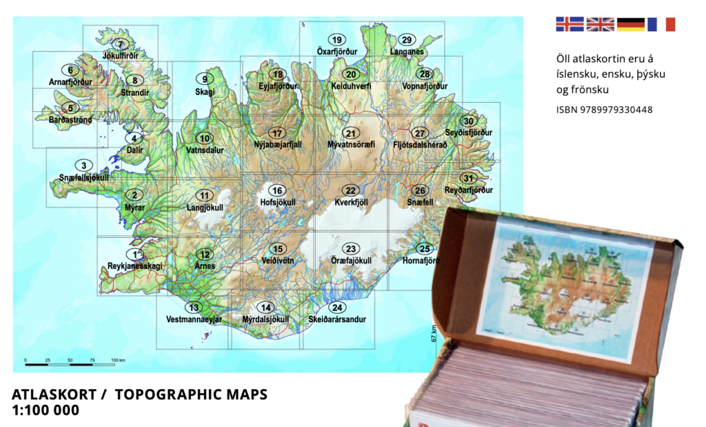
Based on the above graphic, probably need maps 19, 29, 20, 21, 22, 16, 15, and 14 for a total of 8 maps.
1:200000 Scale Regional Maps
A better scale for planning and less maps needed. From the publisher
The regional maps divide the country into nine equal parts. The maps contain the latest information on the country’s road network, camping areas, swimming pools and museums. There are a total of over 26,000 place names on them. On the back of the maps are descriptions and color images of the main natural features of each region, as well as bird drawings.
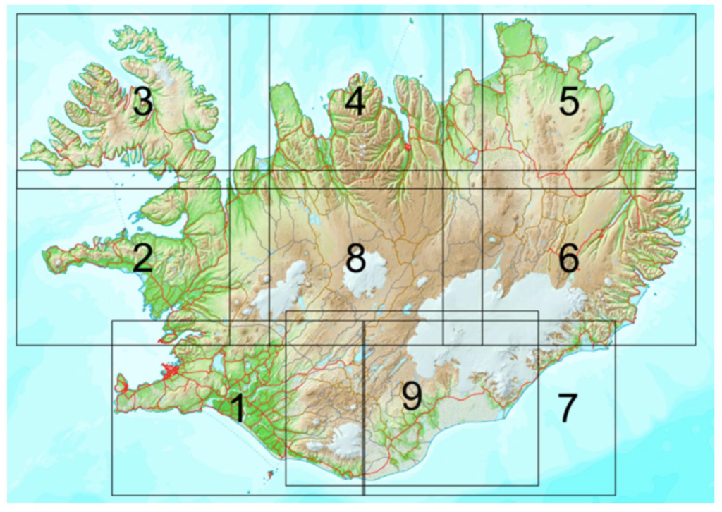
Based on the above graphic, probably need maps 5, 6, 8 and 9 for a total of 8 maps. These maps were published in 2013.
1:100000 Scale Hiking Series
A series made for us, or not? From the publisher
The special maps are at least as popular as the country’s most popular outdoor recreation areas. The maps are a guide to fun driving and hiking routes, and the maps contain a large number of place names and other useful information. On the back are more detailed maps as well as descriptions and color photographs of the main natural gems of the area, bird drawings, etc. Twelve maps in this series have now been published.
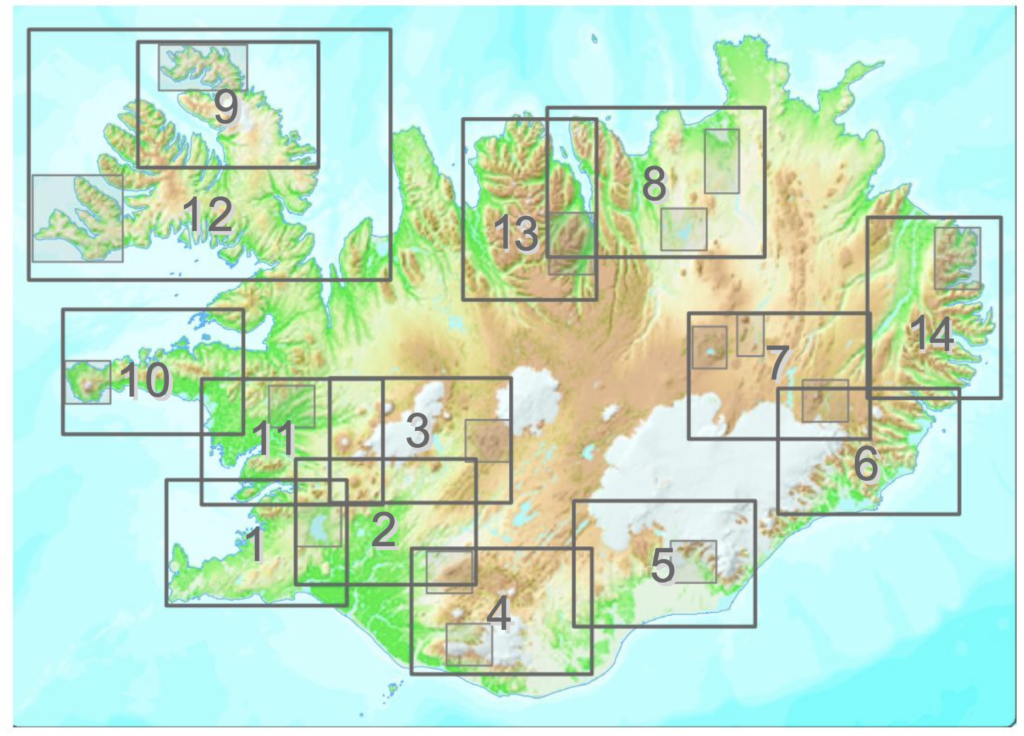
Based on the above graphic, we would need maps 8, 7, and 3 for a total of 3 maps. These maps were published in 2010.
1:300000 General Series
This is the series recommended by other people that have done the crossing. From the publisher
The quadrilateral maps divide the country into four equal parts. The maps contain the latest information on the country’s road system, campsites, swimming pools and museums. On the back are descriptions and color photographs of the main natural gems of the quadrilaterals, with various special features highlighted.
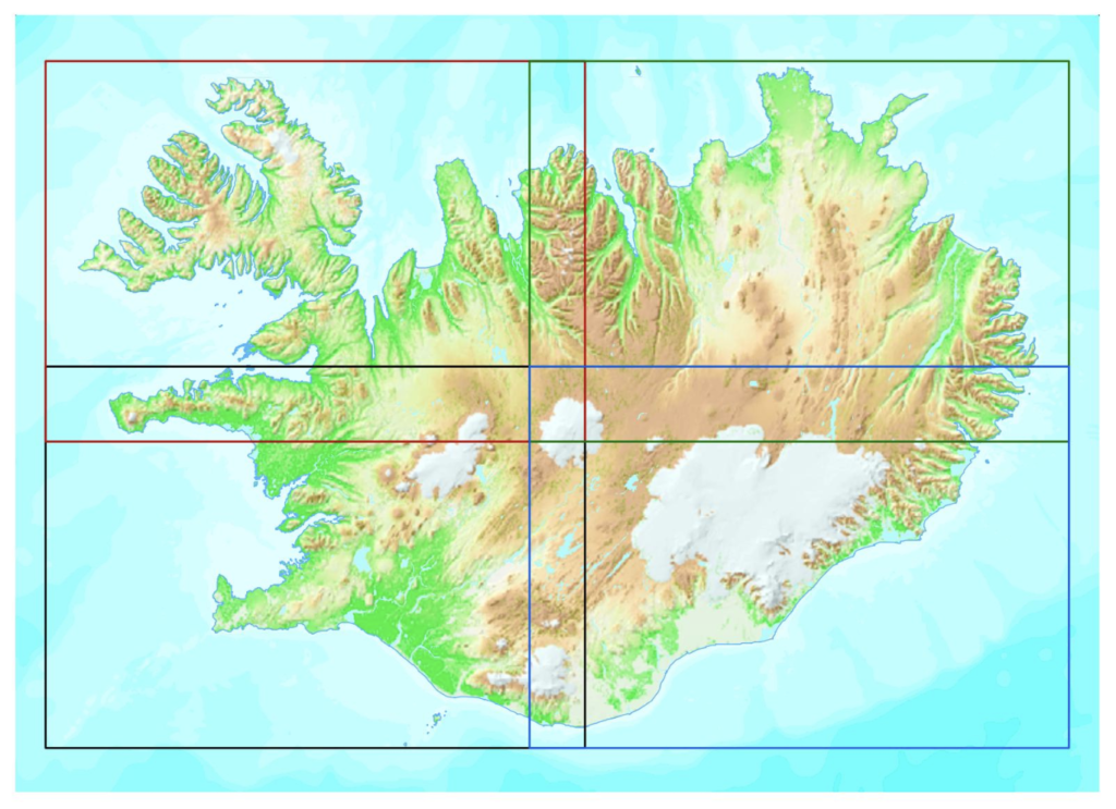
Would only need maps Norðausturland (Northeast Iceland) and Suðausturland (Southeast Iceland). The publication date is around 2017 or 2018.
1:300000 Scale Central Highlands
Covering just the central highloands; a map made for us maybe? From the publisher
The main emphasis is on the highlands, their trails and their special features. GPS-mapped trails and locations on watercourses and ridges. GPS points are at the main road junctions and on the back there are descriptions and color photos of the main natural gems of the highlands, along with a detailed hut list.
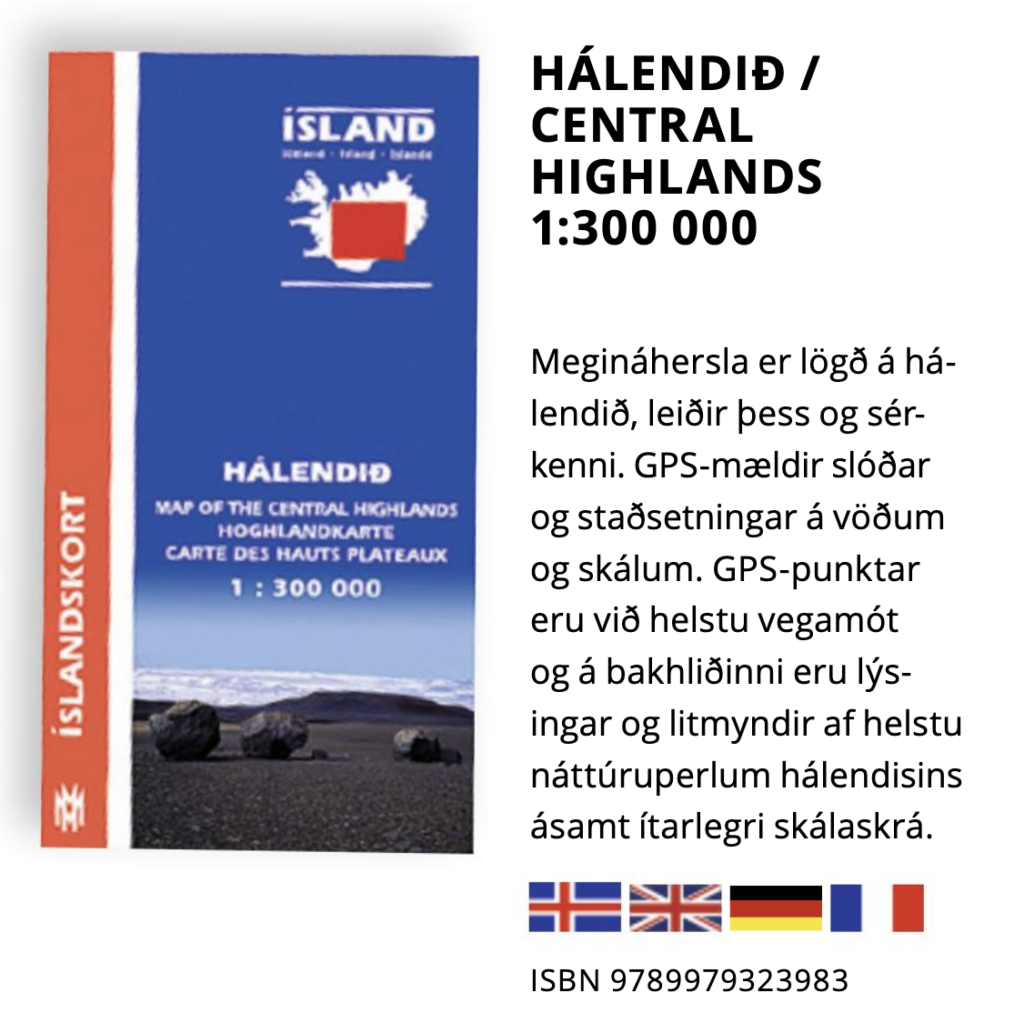
This map was published in 2016. If we had only 1 paper map, this would be the one. It covers the area where we would likely need to make the most route decisions. We could add map 8 from the Hiking series, even if it is 15 years old.
Note: For more information and ISBN numbers of these maps, refer to this brochure.