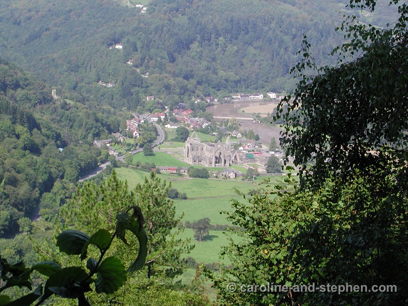
1Day 1. Tintern Abbey - founded in 1131, largely rebuilt in the 13th century - seen from the Path.
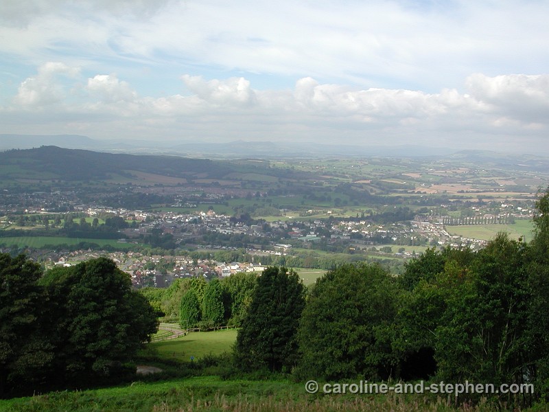
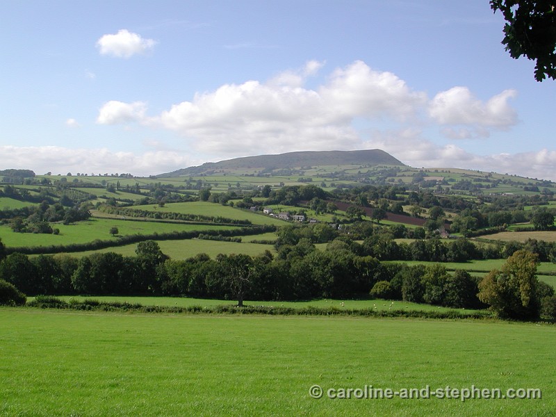
2Day 2. View from the Path.
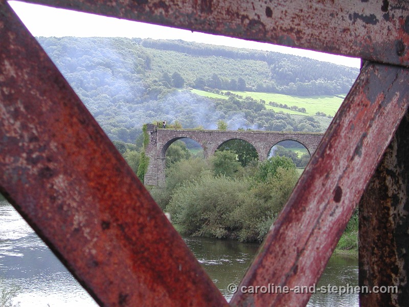
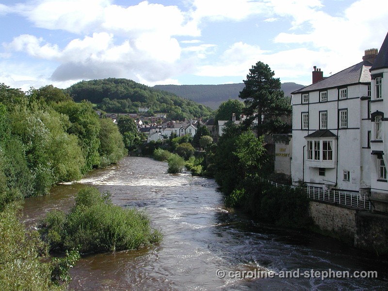
3Day 2. View from the old railway bridge in Monmouth.
4Day 4. Typical footbridge on the Path.
5Day 4. A good place for lunch.
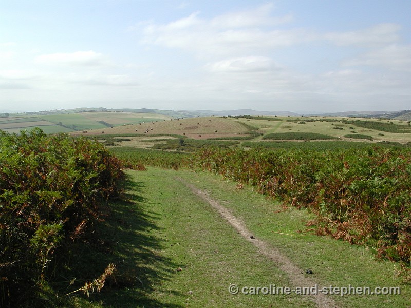
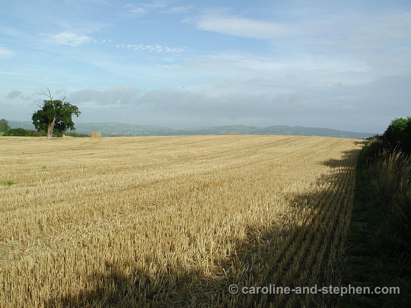
6Day 4. View along the Path.
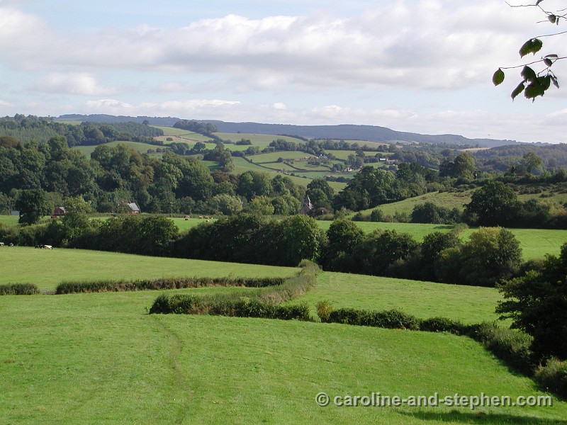
7Day 4. View along the Path.
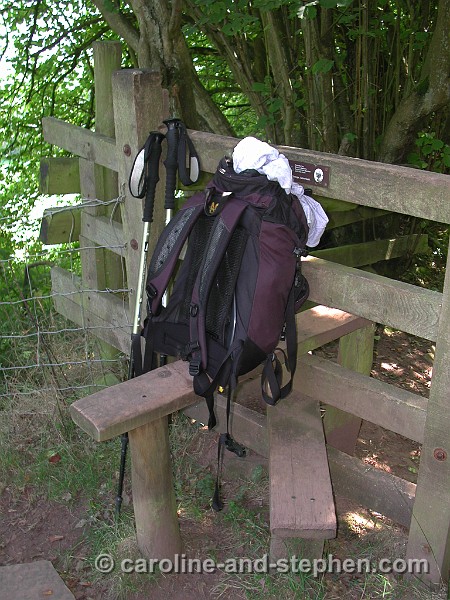
8Day 5. A 'stile' : these allow walkers to cross fences and they have way-markers. Walkers have to take the most direct route between stiles.
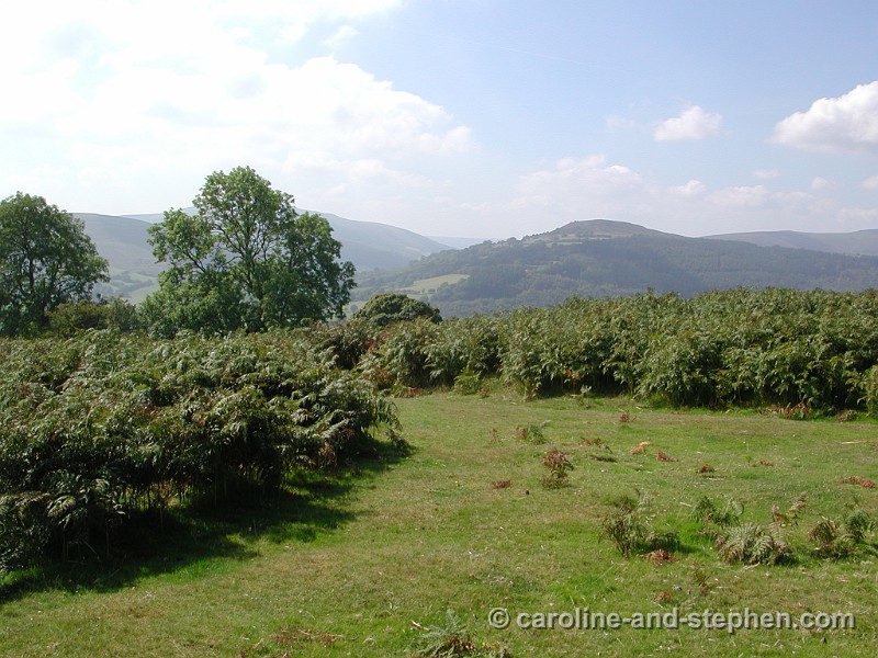
9 Climbing Hatteral Hill.
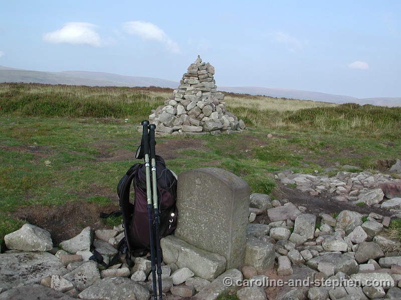
10 Trig. point on the ridge of Hatteral Hill.
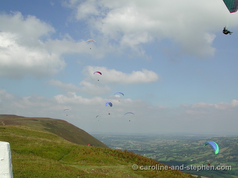
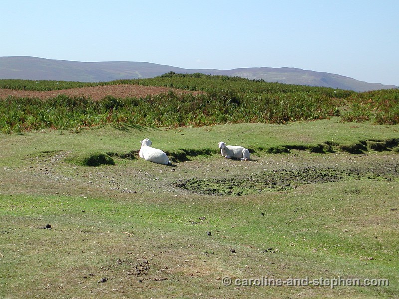
11 It was a beautiful Sunday - there were lots of hang-gliders in the air.
12 Cairns and way-markers along the ridge.
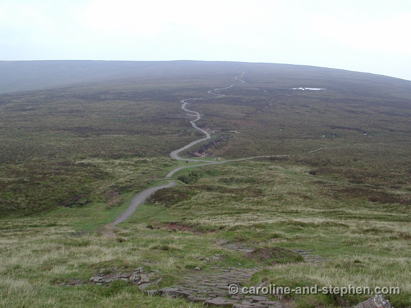
13 The Path on the ridge.
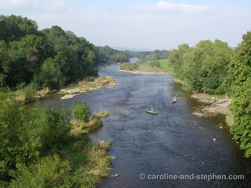
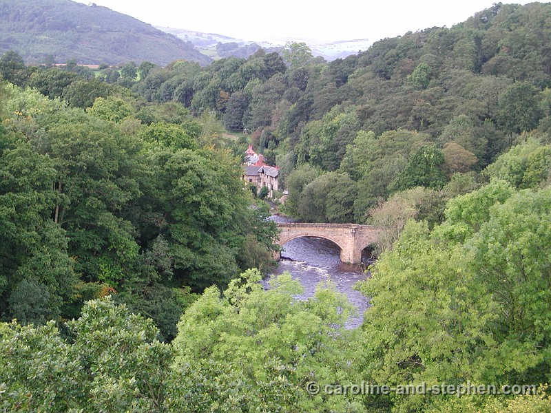
14 The river Wye at Hay-on-Wye.
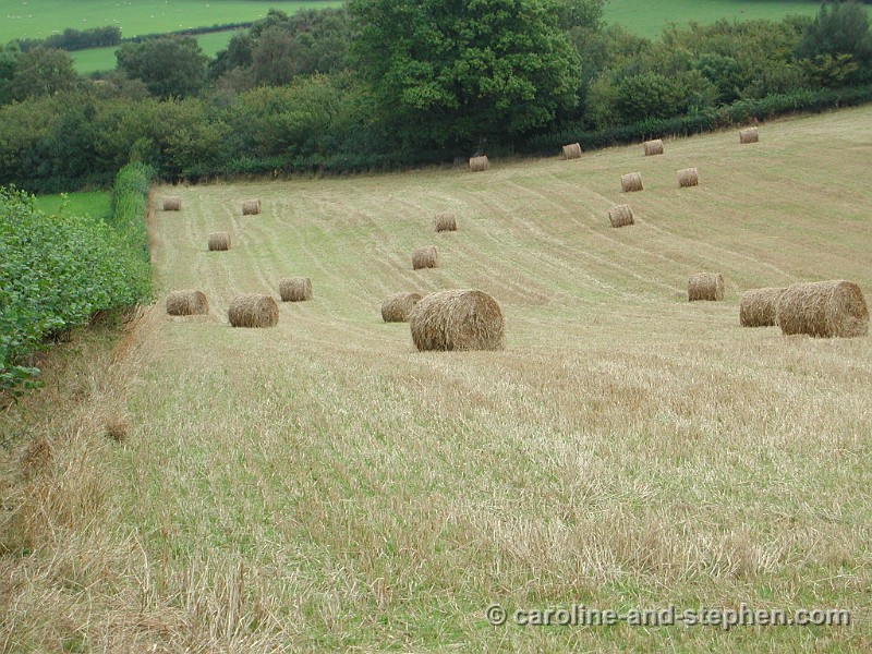
15 Walking along fields.
16 The Path on Hergest Ridge.
17 Hergest Ridge.
18 View along the Path.
19 After not having walked along the Dyke' for 87km/54m it felt like seeing an old friend again!
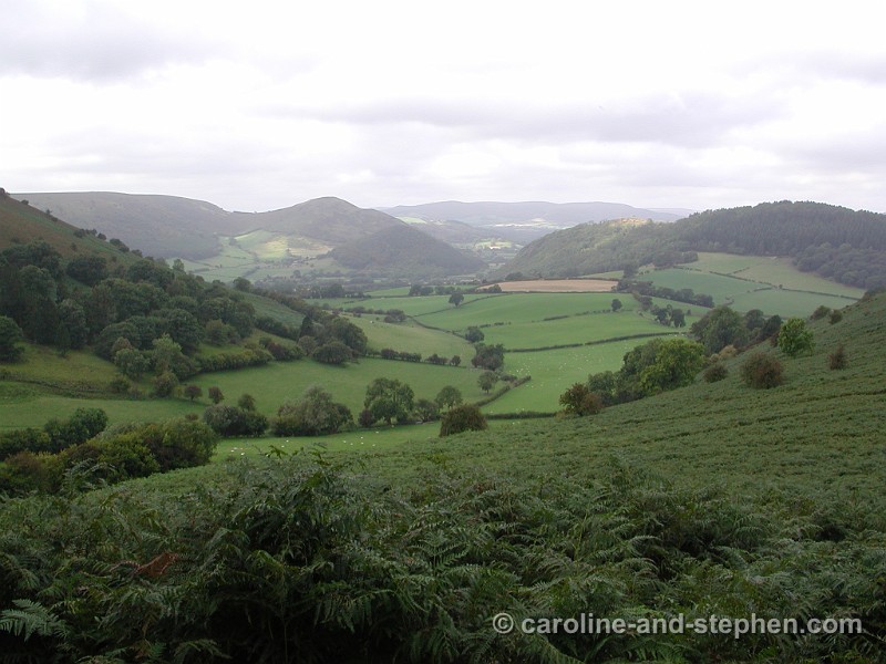
20 Rewarding view again after a climb.
21 The Dyke.
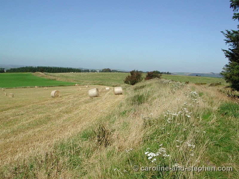
22 A stroll through fields. Can you see the Dyke?
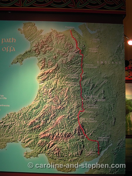
23The Path. The Dyke is believed to have been built by King Offa in the late 8th century. It could have been a defensive or simply a boundary marker between Wales and Mercia. For over half its length the Path keeps company with the Dyke. The Dyke is sometimes a great bank up to 7.6 m/25ft high - with a deep ditch to the west; at other times it is no more than a hedgebank or ridge across a field. There is still a lot of scholarly speculation and dispute about it. It is the biggest ancient momument in the UK. The Path is 285km/177m long. I did about 200km/130m of it.
24 A most welcome rest stop - again after a climb.
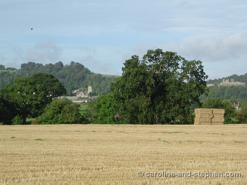
25 View of Montgomery.
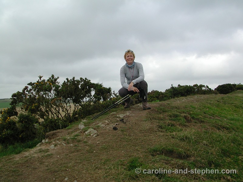
26 Impressions of the hike.
27 My walking companions for a day: Linda, Gaye and Cherry.
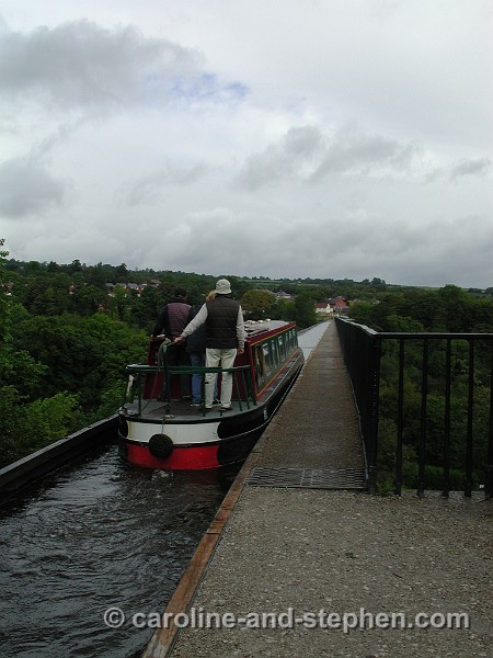
28 A barge crosses the Telford's Pont Cysyllte canal aqueduct.
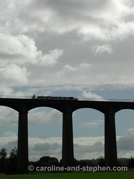
29 View from the aqueduct. It was built from 1795 to 1805.
30 The aqueduct stands 40meter/120foot tall.
31 Llangollen - the end of the Path for me. I will do the rest another time.