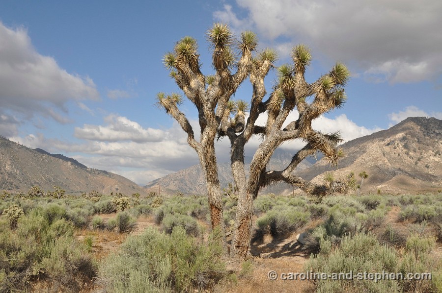
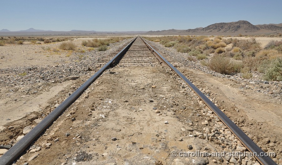
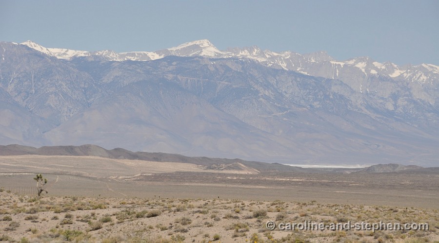
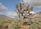
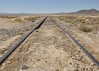
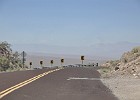
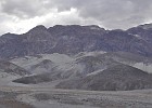
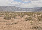
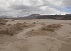
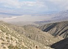
  1 May 28, 2011 Along the 178. |
 2 May 28, 2011 Along the 178. |
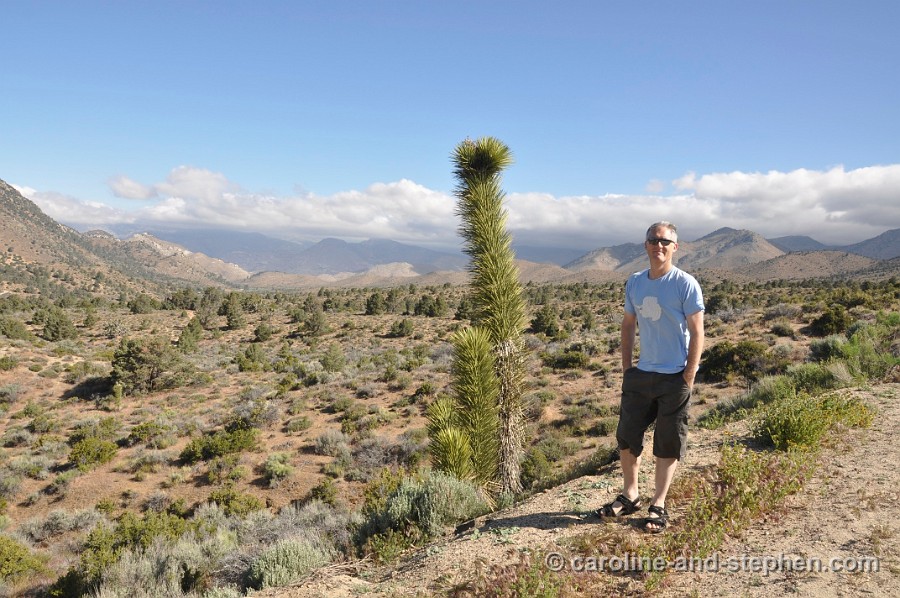
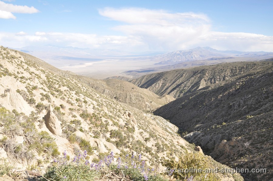
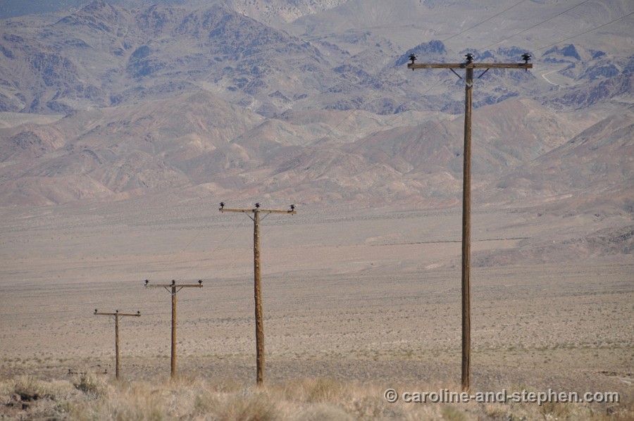
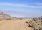
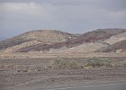
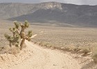
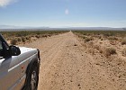 3 May 28, 2011 Bowman Road, shortcut to Ridgecrest. |
 4 May 28, 2011 Bowman Road. |
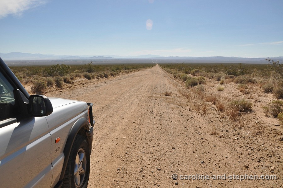
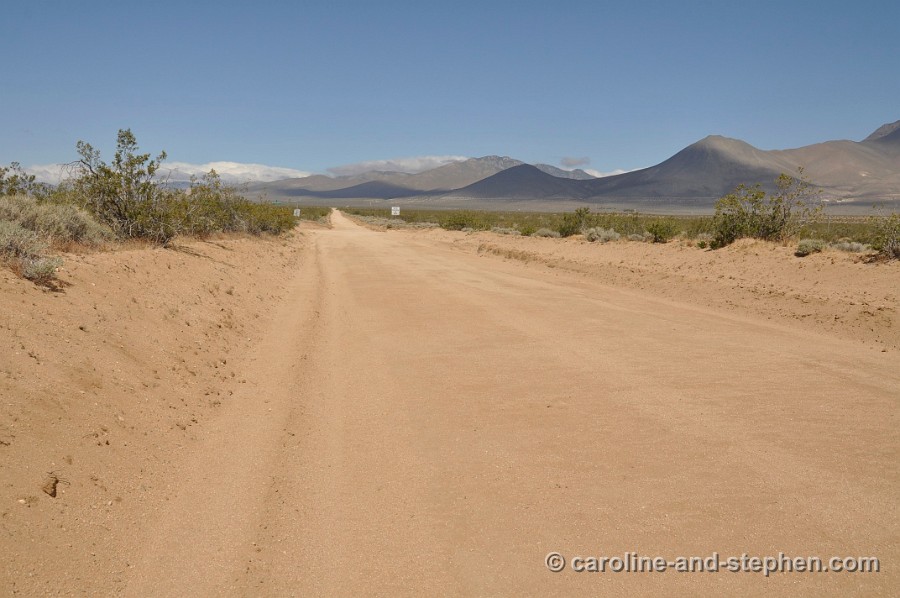
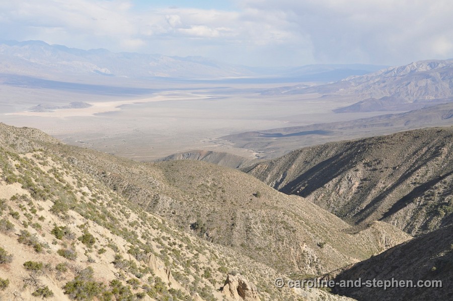
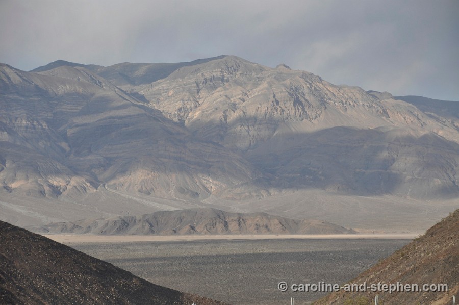
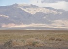
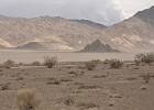
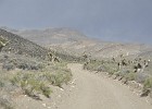
 5 May 28, 2011 On the road towards Trona Pinnacles. |
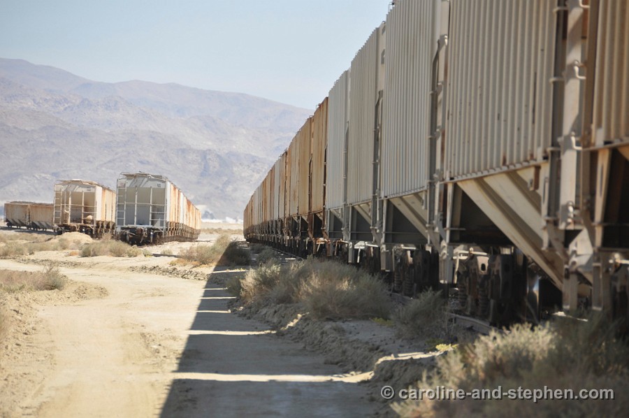
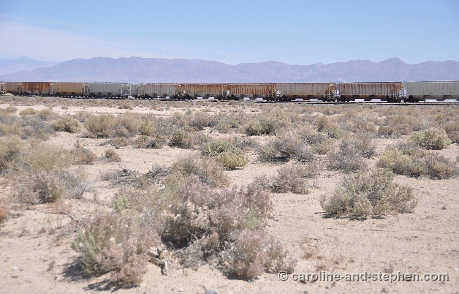
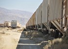 6 May 28, 2011 Abandoned trains in the vicinity of Trona Pinnacles. |
 7 May 28, 2011 |
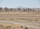 |
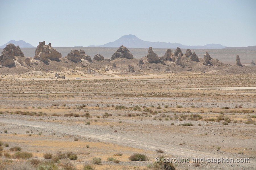
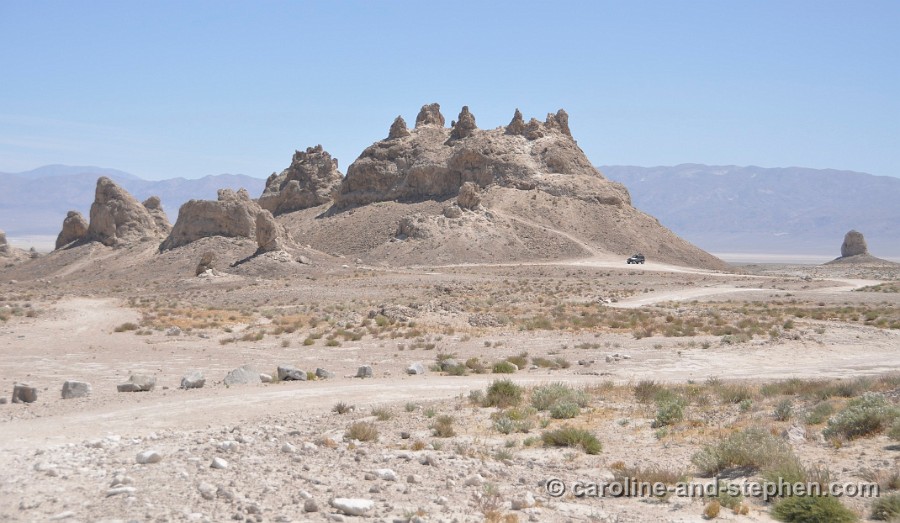
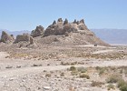 9 May 28, 2011 Trona Pinnacles. |
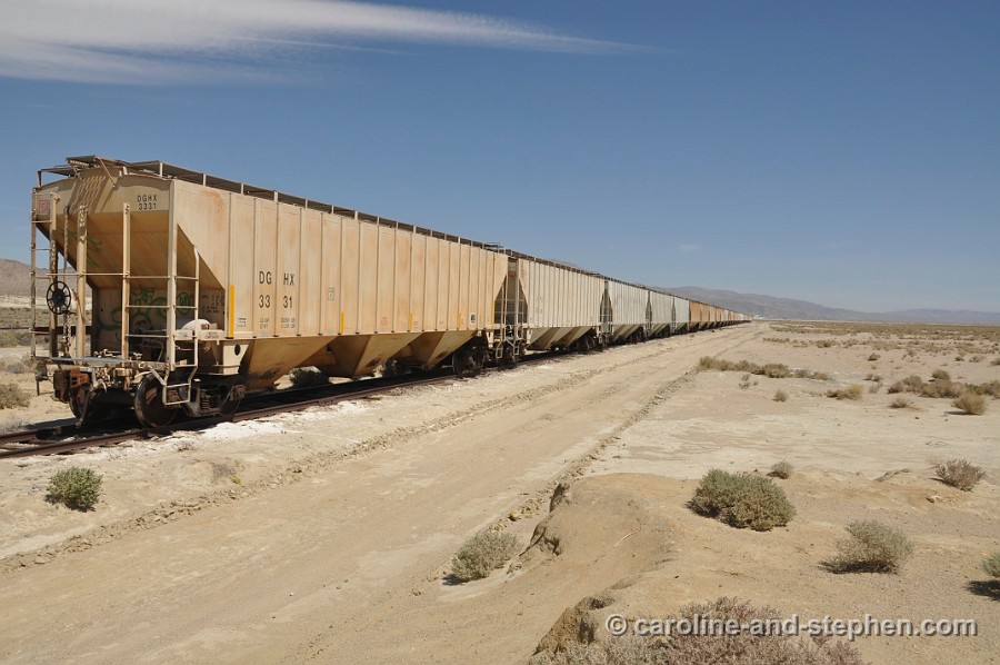
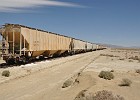
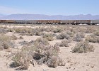 10 May 28, 2011 I liked that train! |
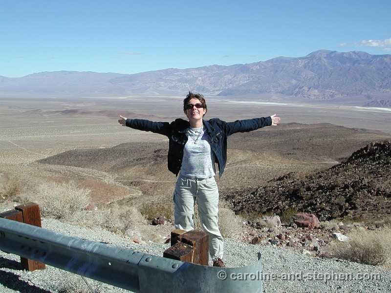
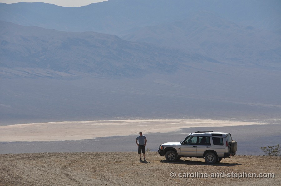
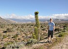
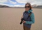
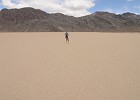
 11 February 18, 2002 The 'original' wide spaces photo. Many like this have been taken since :-) |
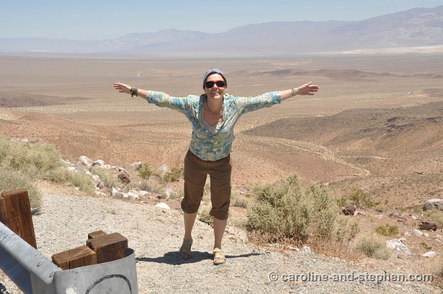
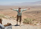 12 May 28, 2011 Same spot, 9 years later. |
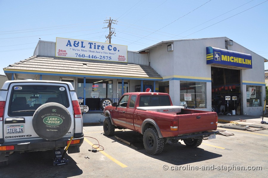
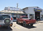 13 May 28, 2011 Back in Ridgecrest. We got good and prompt service here. |
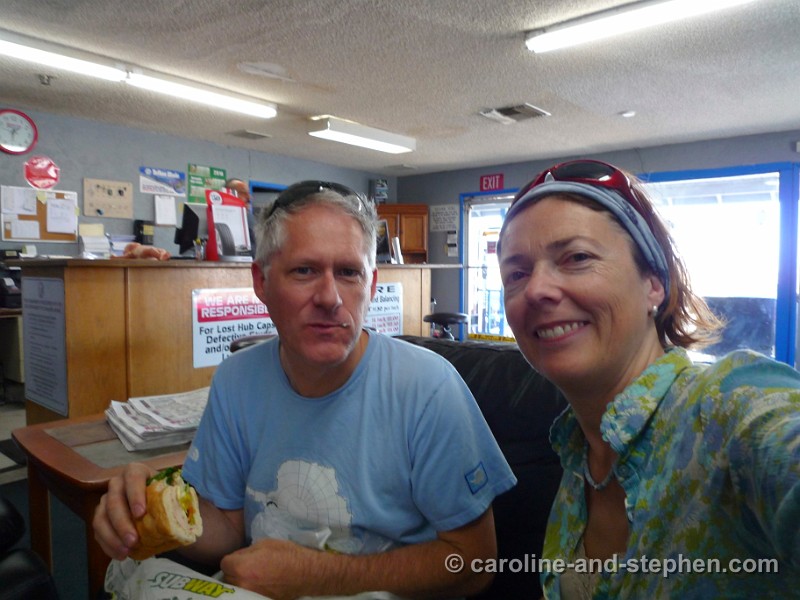
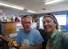 14 May 28, 2011 Not exactly the lunch spot we had in mind though :-) |
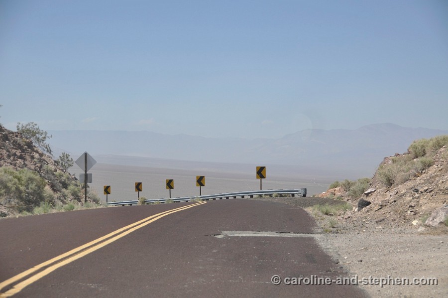
 15 May 28, 2011 Back on the road, past the photo spot. |
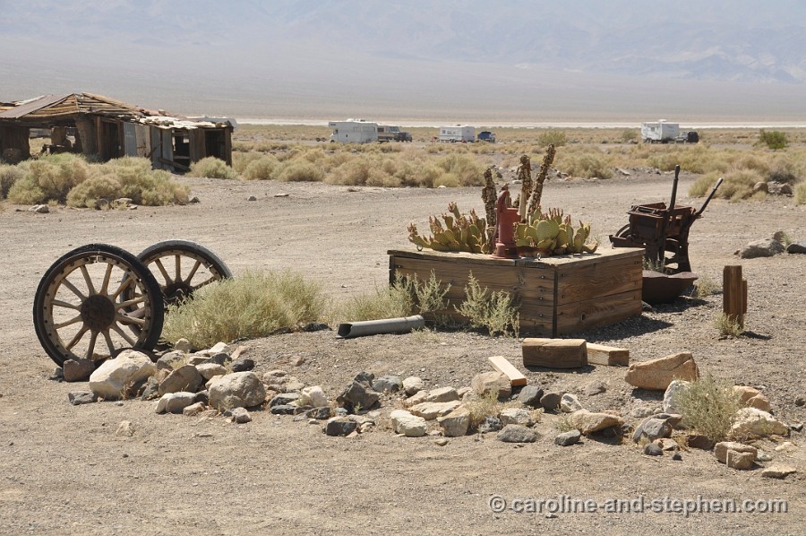
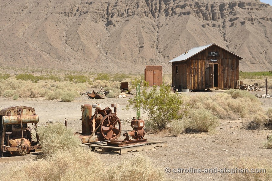
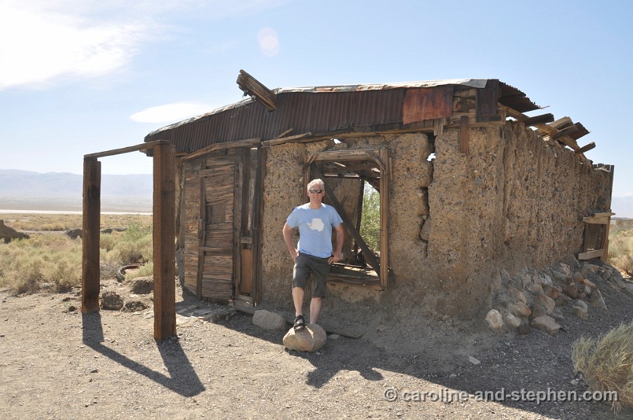
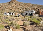
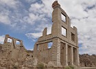
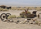 16 May 28, 2011 Ballarat 'ghost town'. |
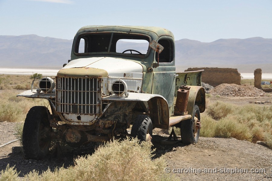
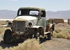 17 May 28, 2011 Ballarat's caretaker and only inhabitant told us that this was Charles Manson's truck. |
 18 May 28, 2011 Ballarat. |
 19 May 28, 2011 Considering Real Estate in Ballarat. |
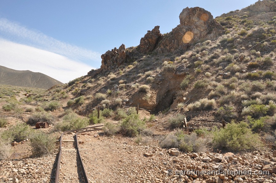
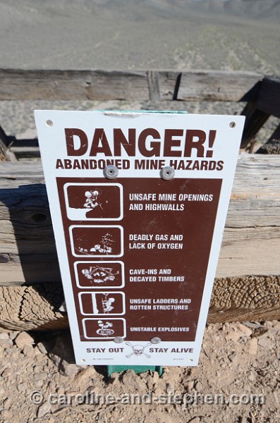
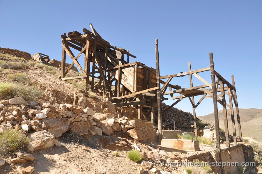
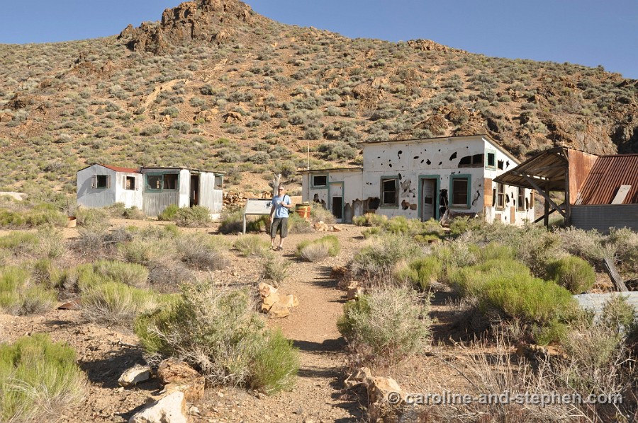
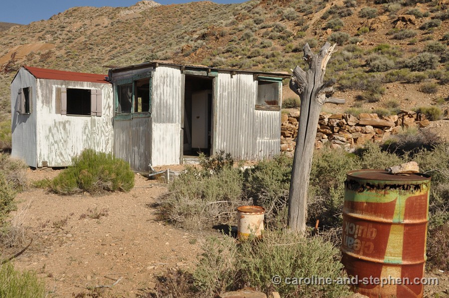
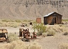
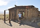
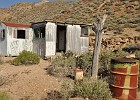
 20 May 28, 2011 Eureka Mine. |
 21 May 28, 2011 Eureka mine. |
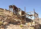 22 May 28, 2011 Eureka mine. |
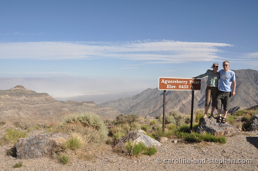
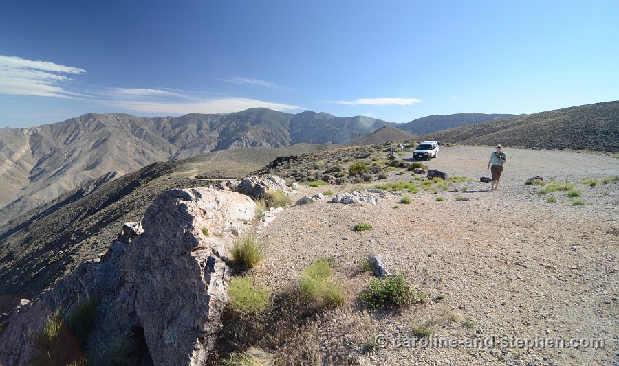
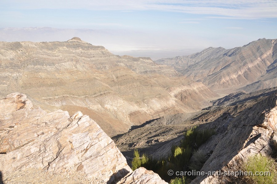
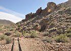
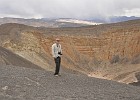
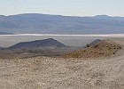
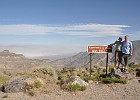 23 May 28, 2011 Aguereberry Point and look out. |
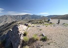 24 May 28, 2011 Aguereberry Point. |
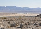
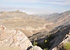 25 May 28, 2011 Aguereberry Point with Badwater Basin in the distance. |
 26 May 28, 2011 |
 27 May 28, 2011 Camp at Eureka mine. |
 28 May 28, 2011 Camp at Eureka mine. |
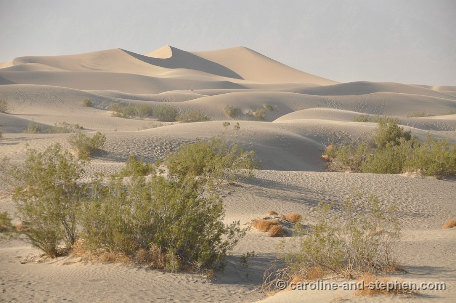
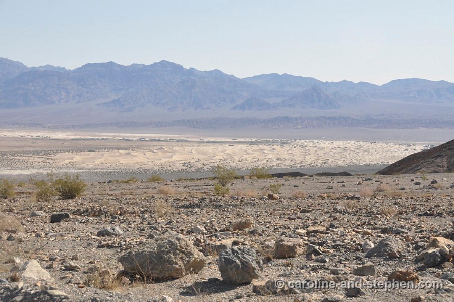
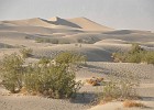 29 May 28, 2011 Sand Dunes at Stovepipe Wells. |
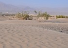 30 May 28, 2011 Sand Dunes at Stovepipe Wells. |
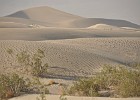 31 May 28, 2011 Sand Dunes at Stovepipe Wells. |
 32 May 29, 2011 On the road from Furnace Creek to Badwater Basin around 5:30am. |
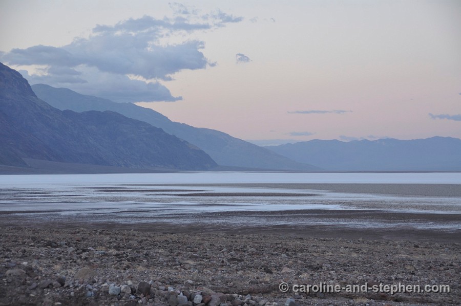
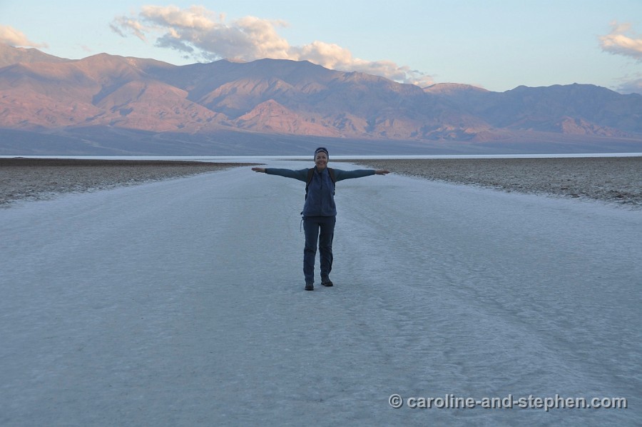
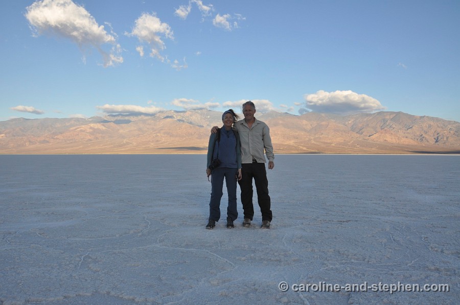
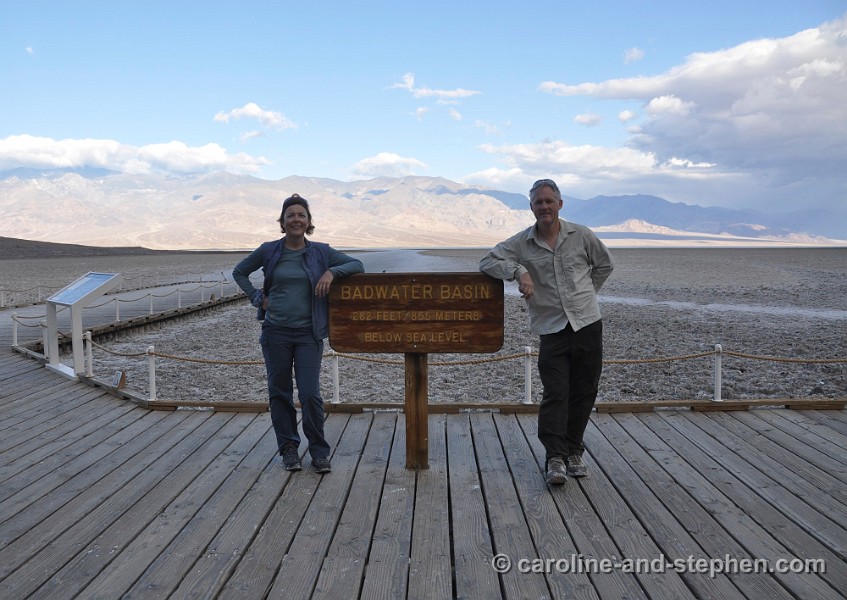
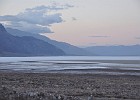
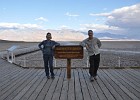
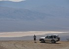
 33 May 29, 2011 Off to the lowest surface point on the Norhtern American Continent in Badwater Basin. |
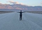
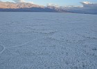 34 May 29, 2011 |
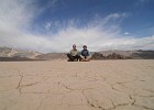
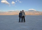 35 May 29, 2011 Photos on our 'low point' excursion. |
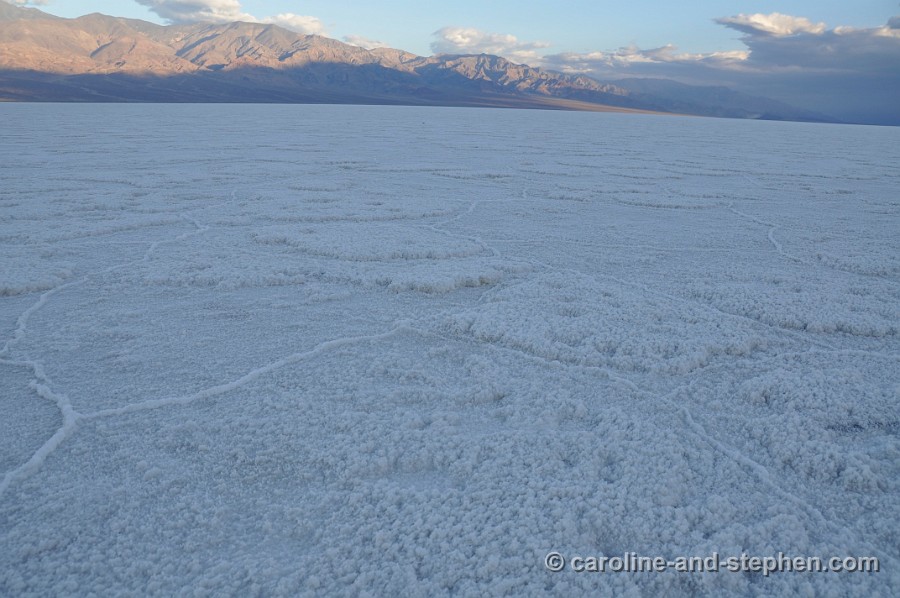
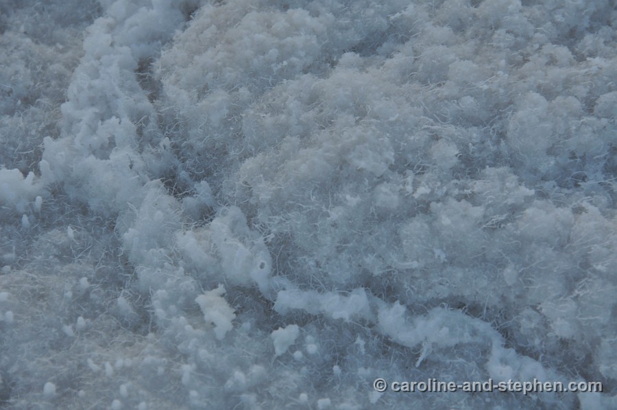
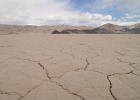
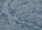 36 May 29, 2011 Detail of the salt crust, Badwater Basin. |
 37 May 29, 2011 |
 38 May 29, 2011 On our way back to Furnace Creek for breakfast and coffee. |
 39 May 29, 2011 On our way back to Furnace Creek for breakfast and coffee. |
 40 May 29, 2011 |
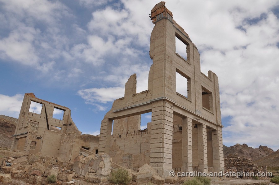
 41 May 29, 2011 Rhyolite, the largest ghost town in Death Valley. Remains of the Cook Bank Building. |
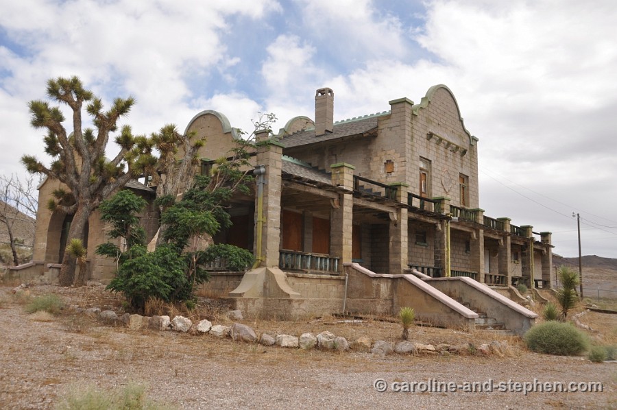
 42 May 29, 2011 Rhyolite train depot. |
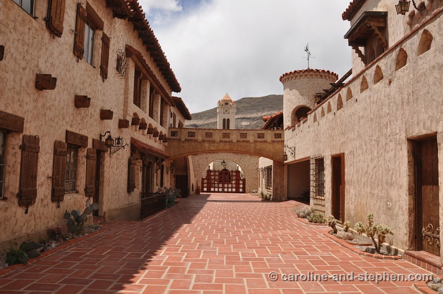
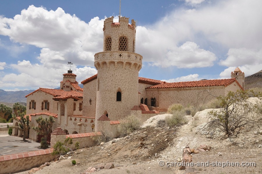
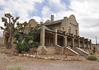
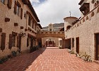 43 May 29, 2011 Scotty's Castle. |
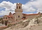 44 May 29, 2011 Scotty's Castle. |
 45 May 29, 2011 |
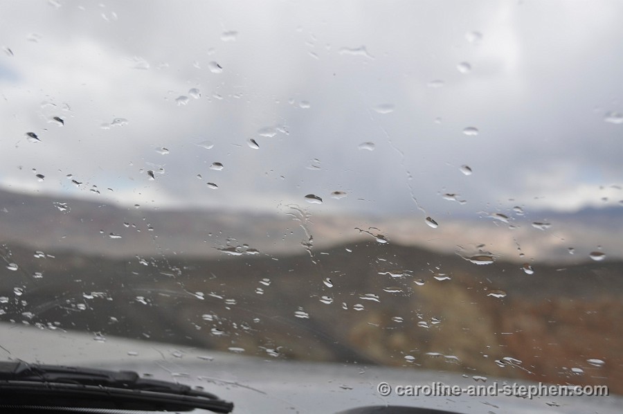
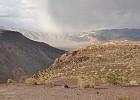
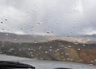 46 May 29, 2011 We experienced a few rain showers in the desert. |
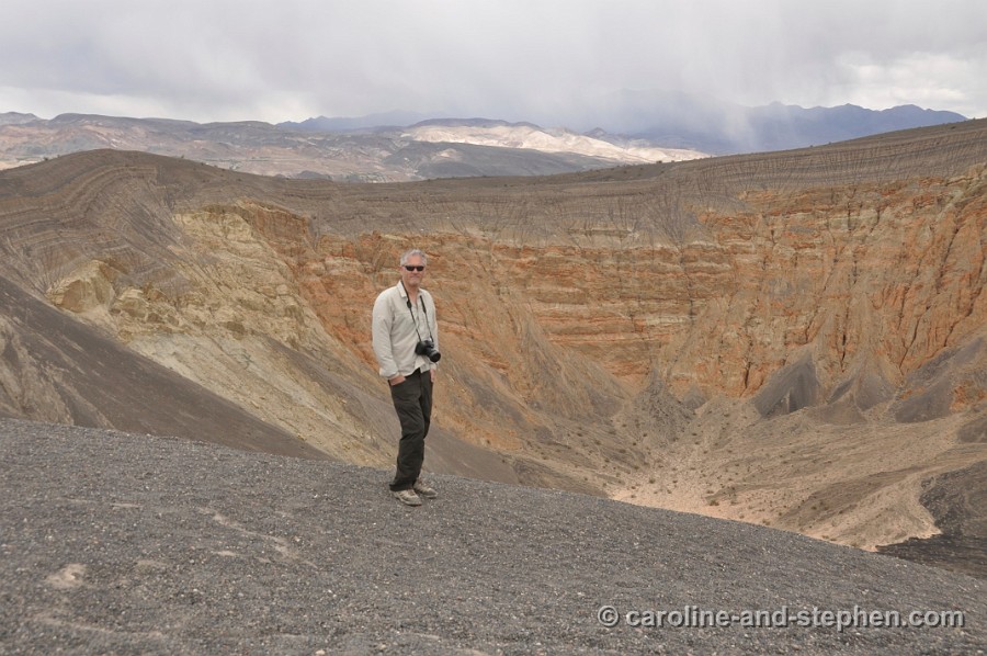
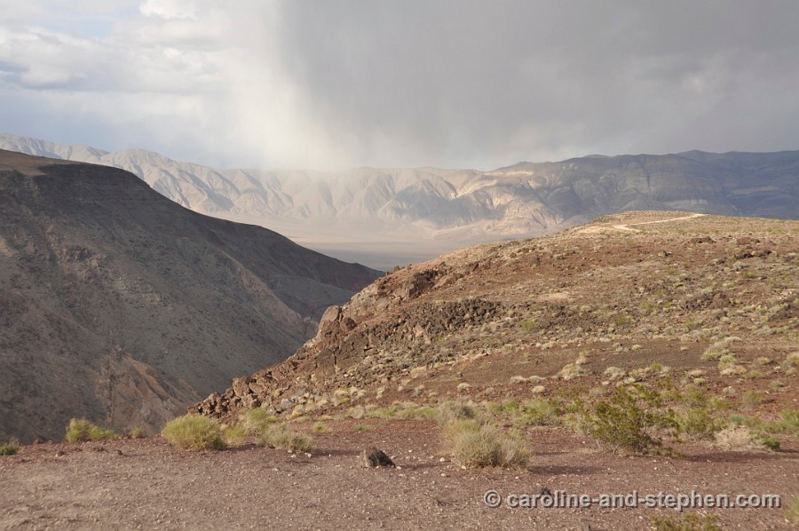
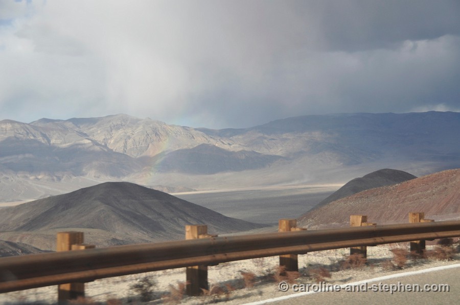
 47 May 29, 2011 Ubehebe Crater. |
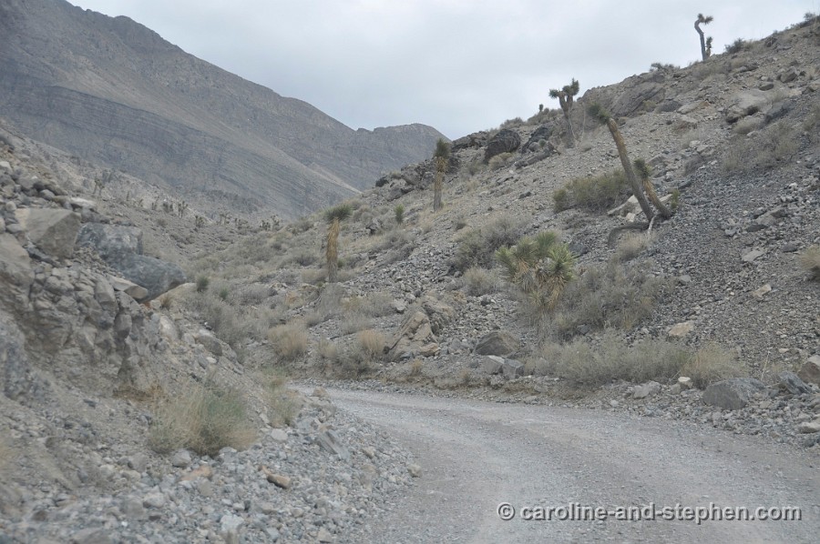
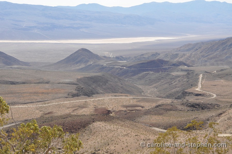
 48 May 29, 2011 Dirt road from the crater towards The Racetrack. |
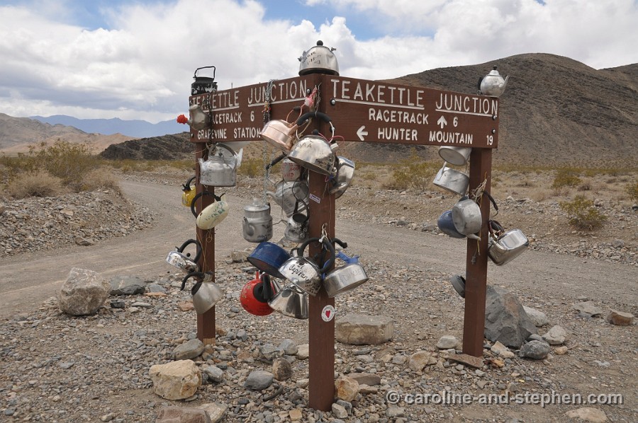
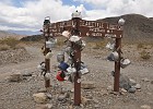 49 May 29, 2011 Teakettle Junction. |
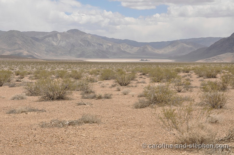
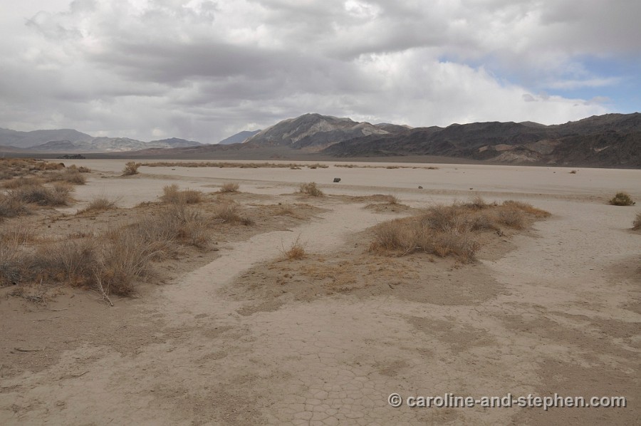
 50 May 29, 2011 Closing in on The Grandstand and The Racetrack. |
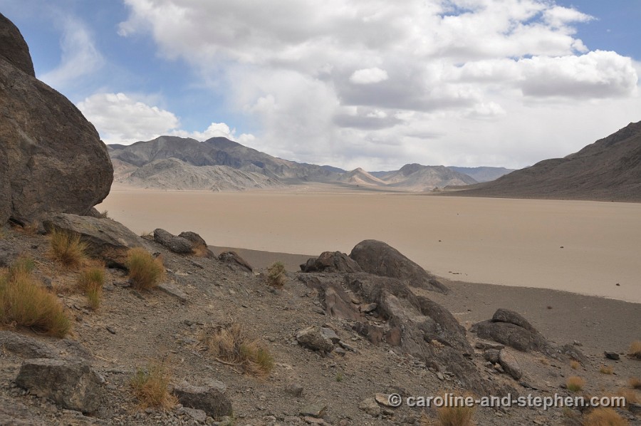
 51 May 29, 2011 The Grandstand. |
 52 May 29, 2011 |
 53 May 29, 2011 |
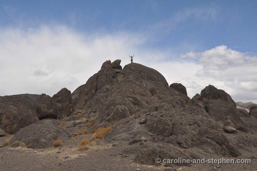
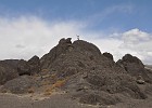 54 May 29, 2011 Stephen found something to climb. |
 55 May 29, 2011 Looking out over the Grandstand. |
 56 May 29, 2011 |
 57 May 29, 2011 |
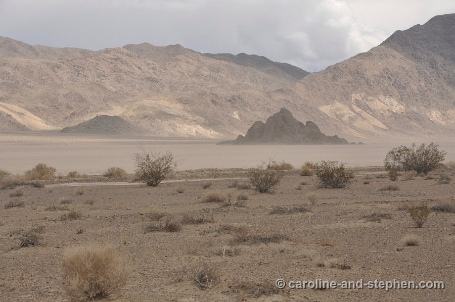
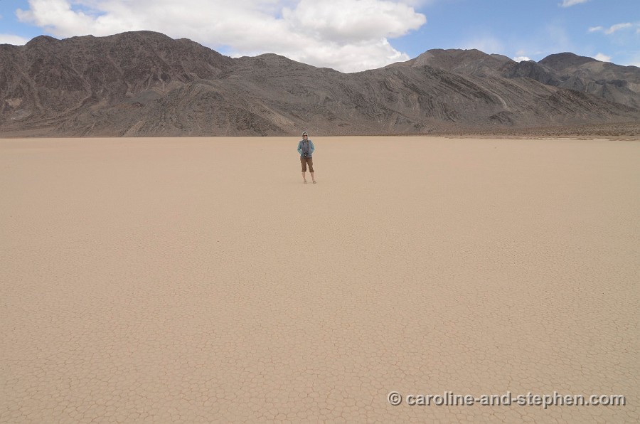
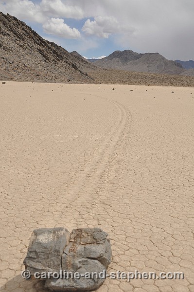
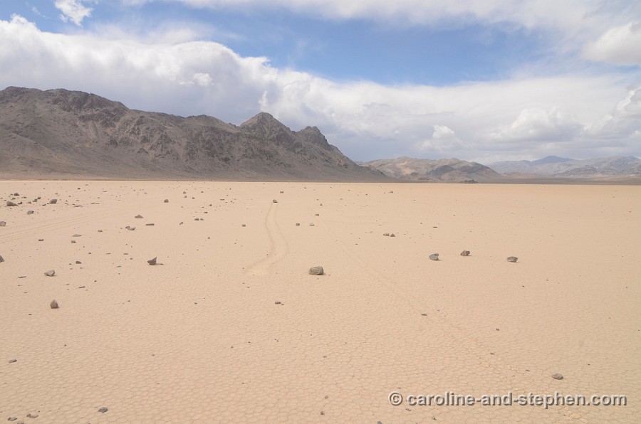
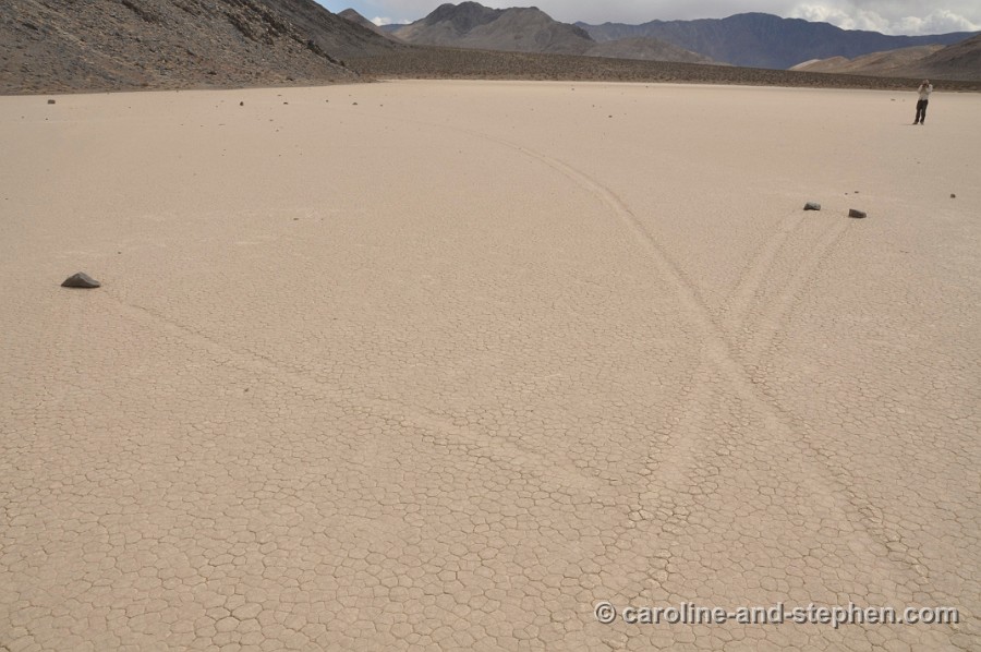
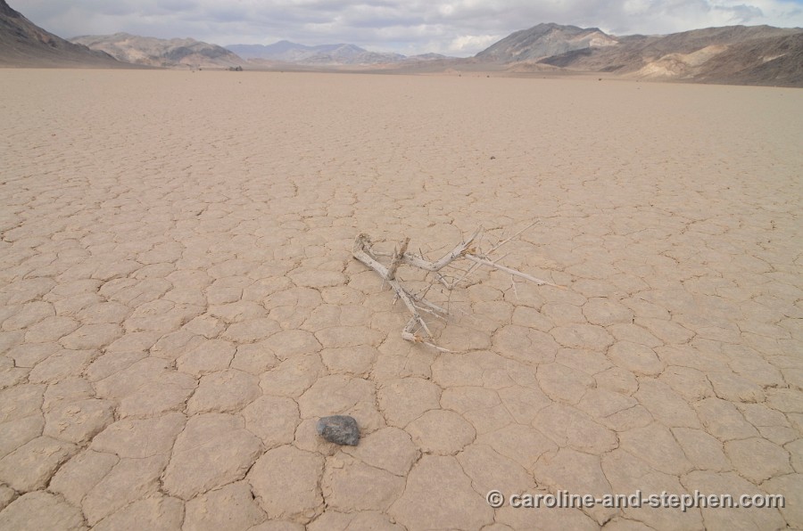
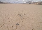
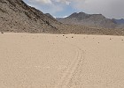 58 May 29, 2011 The Racetrack. These mysterious sliding rocks have baffled scientists for decades. |
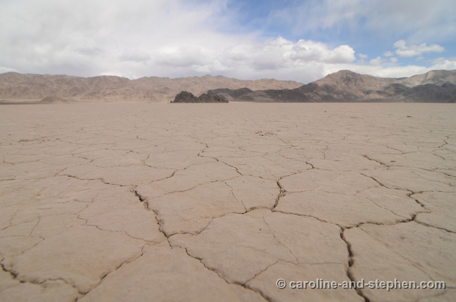
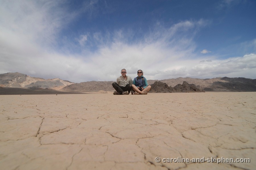
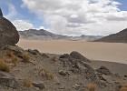
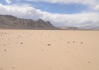 59 May 29, 2011 The Racetrack Plaza. |
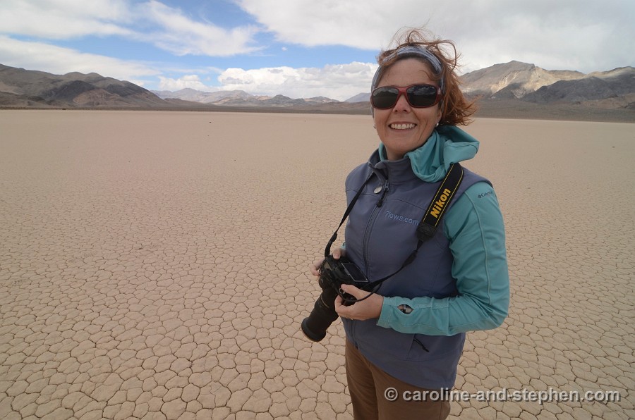
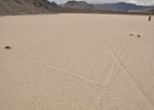 60 May 29, 2011 The Racetrack Plaza is perfectly flat so no one knows how exactly these rocks move. |
 61 May 29, 2011 |
 62 May 29, 2011 |
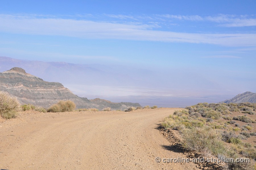
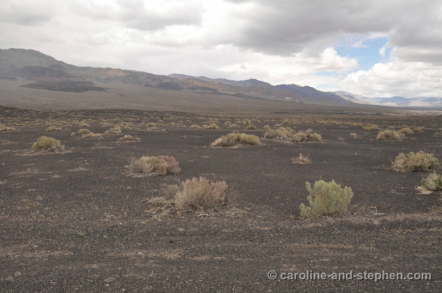
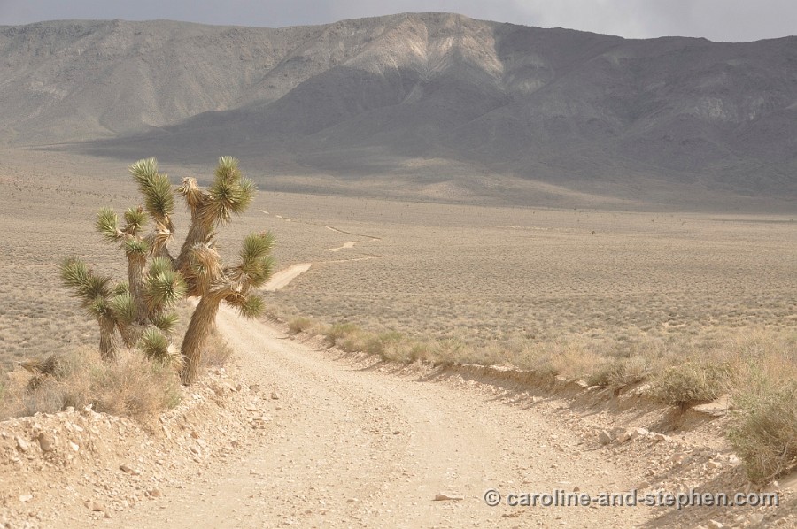
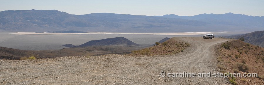
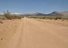
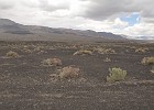
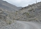
 63 May 29, 2011 Saline Valley Road. 4WD and high clearance recommended. |
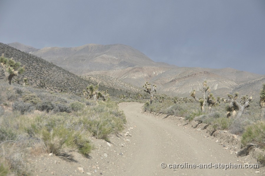
 64 May 29, 2011 Saline Valley Road. |
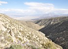 65 May 29, 2011 Views from Saline Valley Road. |
 66 May 29, 2011 |
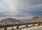
 67 May 29, 2011 Back on the 190. |
 68 May 29, 2011 |
 69 May 29, 2011 |
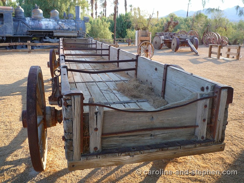
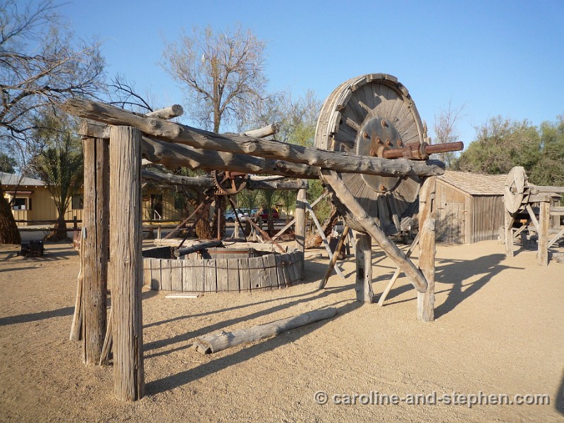
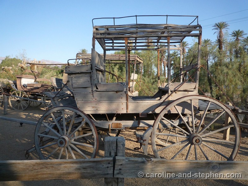
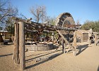
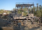
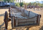 70 May 30, 2011 Outdoor museum at Furnace Creek Ranch Resort. |
 71 May 30, 2011 |
 72 May 30, 2011 |
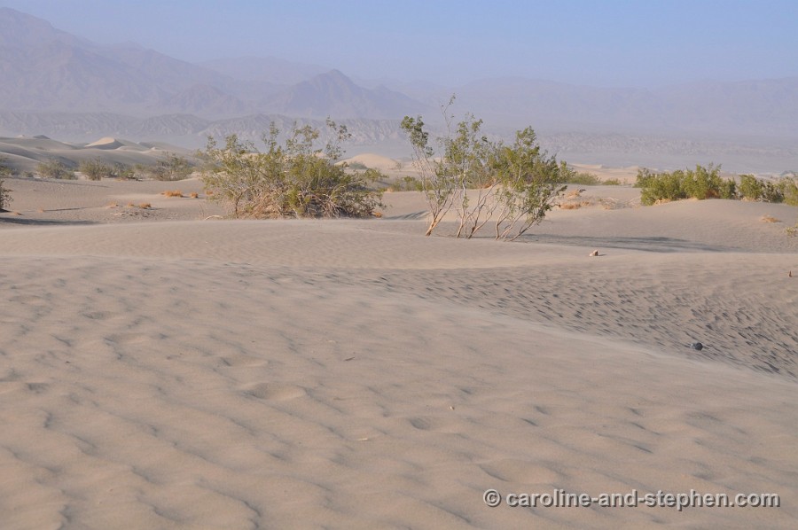
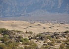 73 May 30, 2011 Passing the Sand dunes again on our way out. |
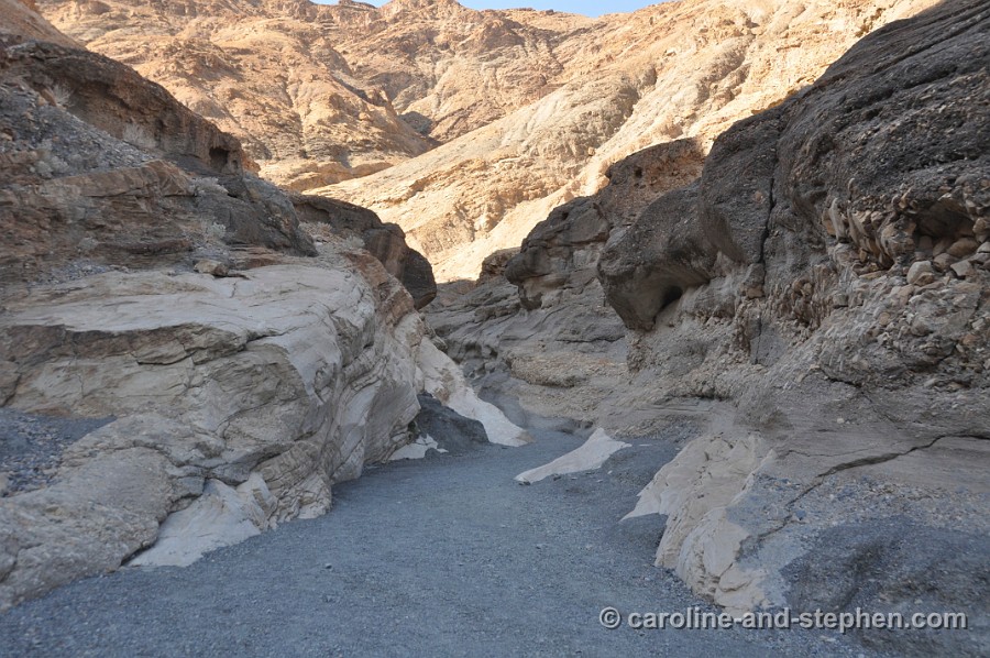
 74 May 30, 2011 Quick stop at Mosaic Canyon. |
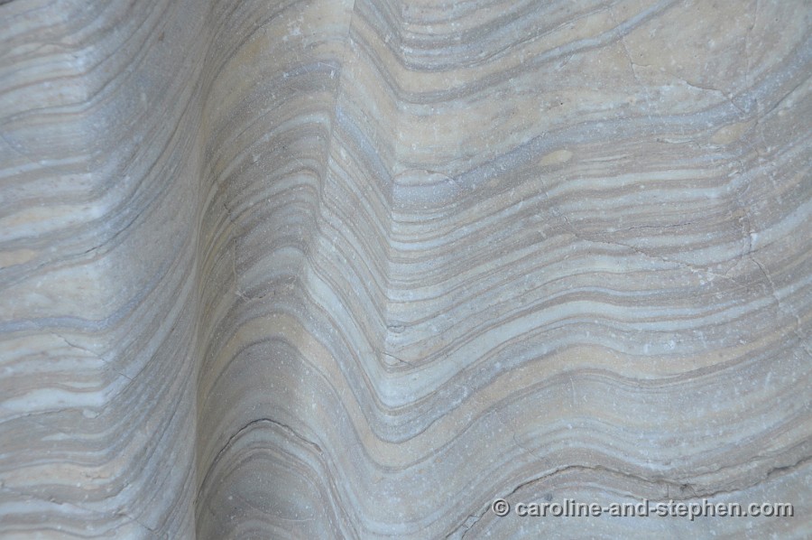
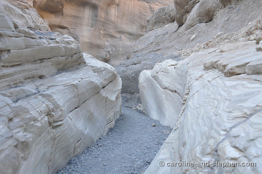
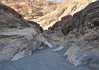
 75 May 30, 2011 Mosaic Canyon. |
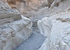 76 May 30, 2011 |
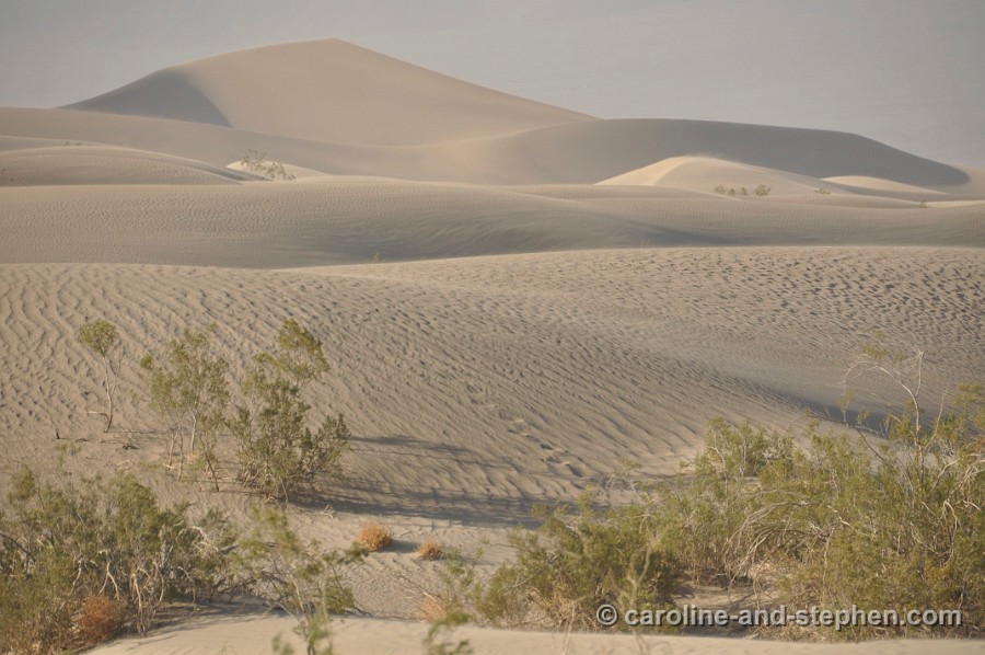
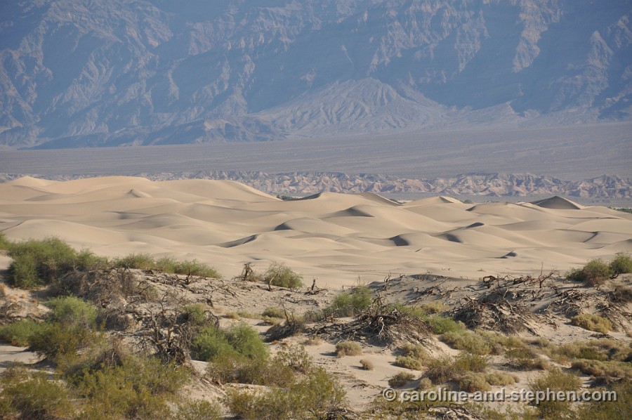
 77 May 30, 2011 Overlooking the Sand Dunes from the start of Mosaic Canyon. |
 78 May 30, 2011 Look out at Father Crowley Point. |
 79 May 30, 2011 Look out at Father Crowley Point. |
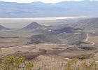 80 May 30, 2011 From the look out towards Panamint Springs. |
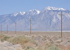
 81 May 30, 2011 Mt Whitney in the middle. |
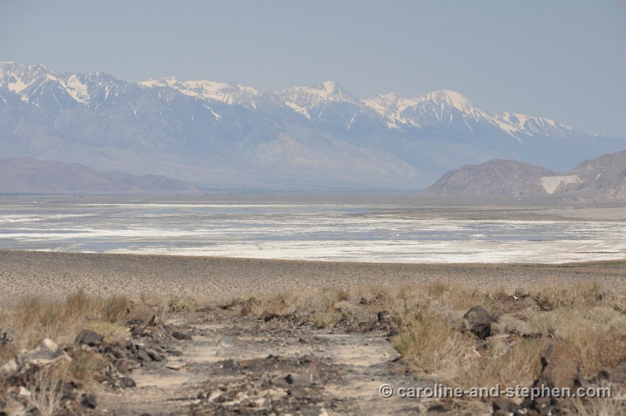
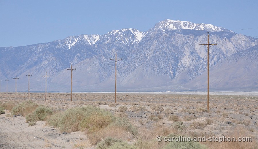
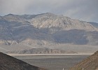
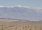
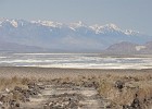 82 May 30, 2011 Owens Lake and Mt Whitney. |
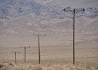 83 May 30, 2011 190 towards Olancha. |
 84 May 30, 2011 190 towards Olancha. |